

Artonne
Auvergne-Rhône-Alpes, Puy-de-Dôme
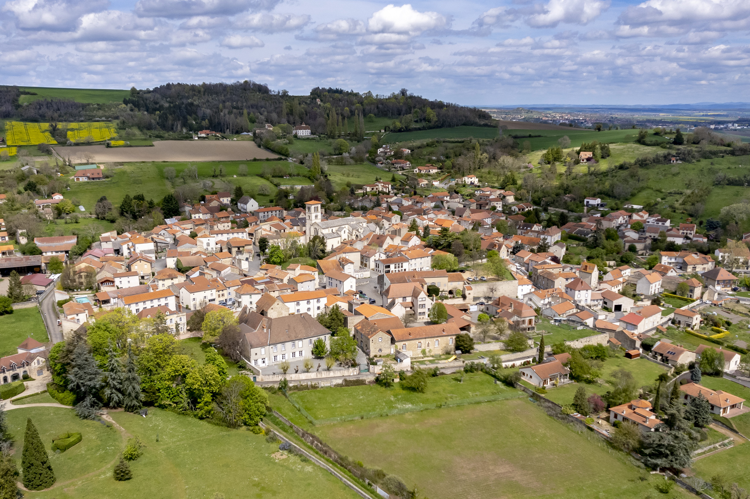
Artonne, Petite Cité de Caractère®
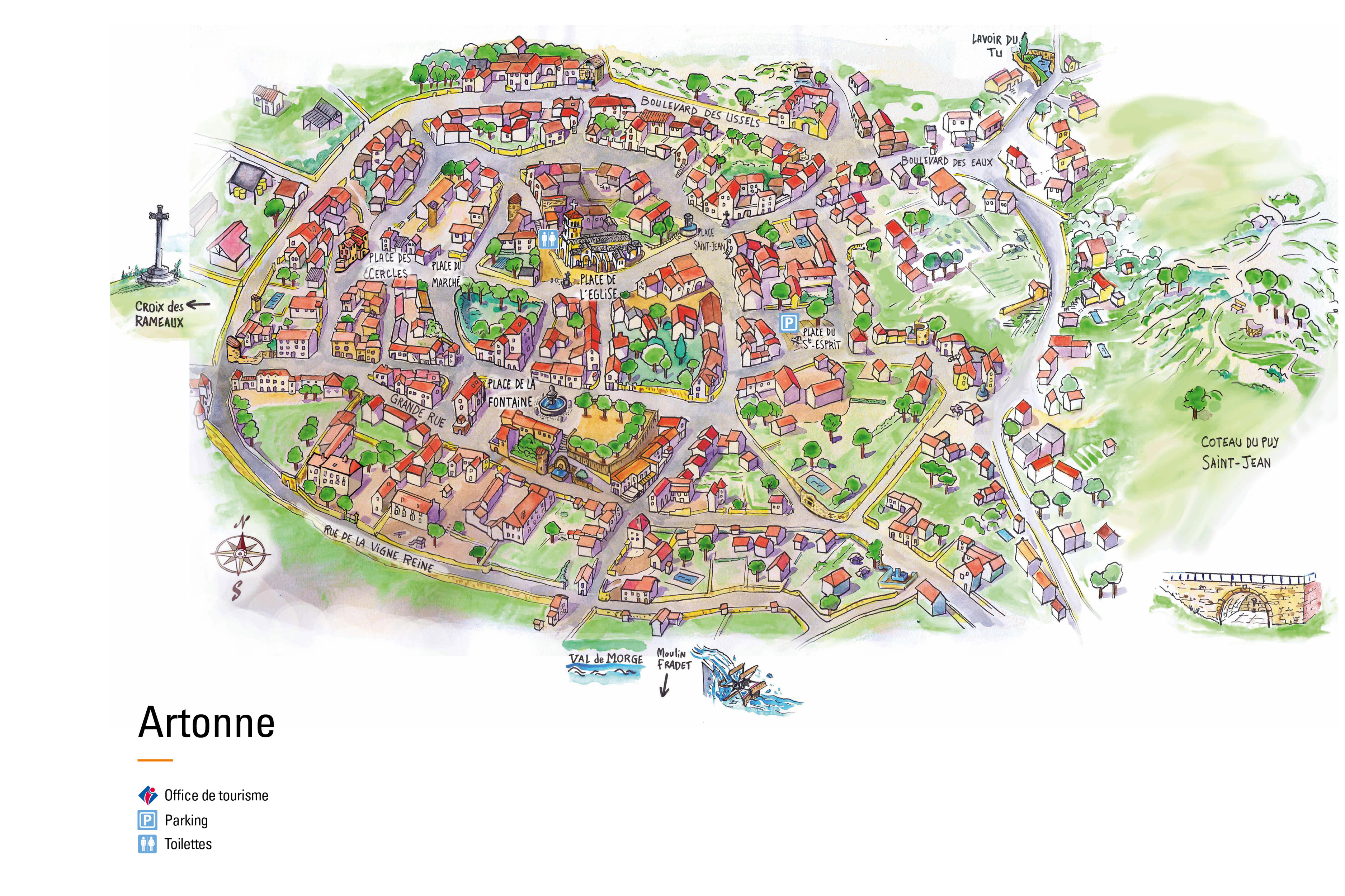
Artonne is designated Petite Cité de Caractère®. As such, it forms part of a national project aimed at promoting and protecting the architectural heritage of little towns across France. Through tourism, the initiative encourages visitors to embrace the local culture by strolling through the streets, learning about the history of the area, taking part in local events, and discovering the local way of life. In Puy-de-Dôme, there are several Petite Cité de Caractère® little towns to discover. The digital map will help you navigate each of them and highlight their main attractions.
Presentation
Fortifications
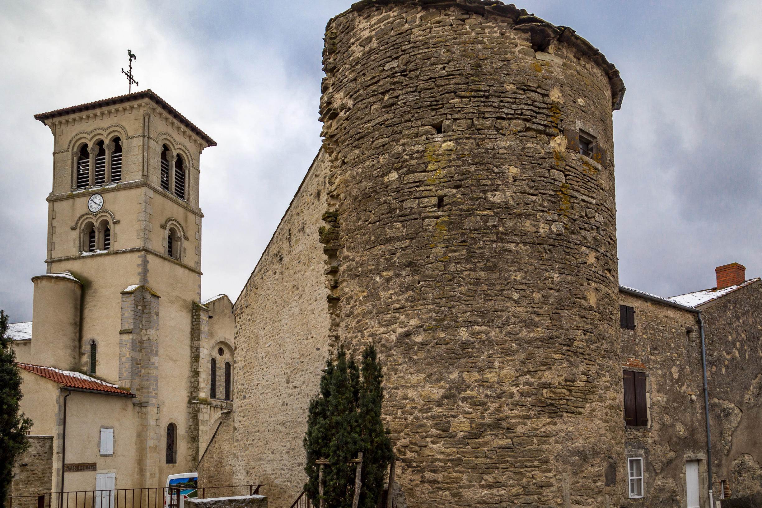
Until the French Revolution, Artonne was surrounded by two walls, parts of which are still visible today. The first, dating from the 10th century, enclosed the area around Saint-Martin church. The antique tower is the sole remaining vestige of this fortification. The second wall, dating from the 14th century, marked the first extension of the village's boundaries.
Western Gate
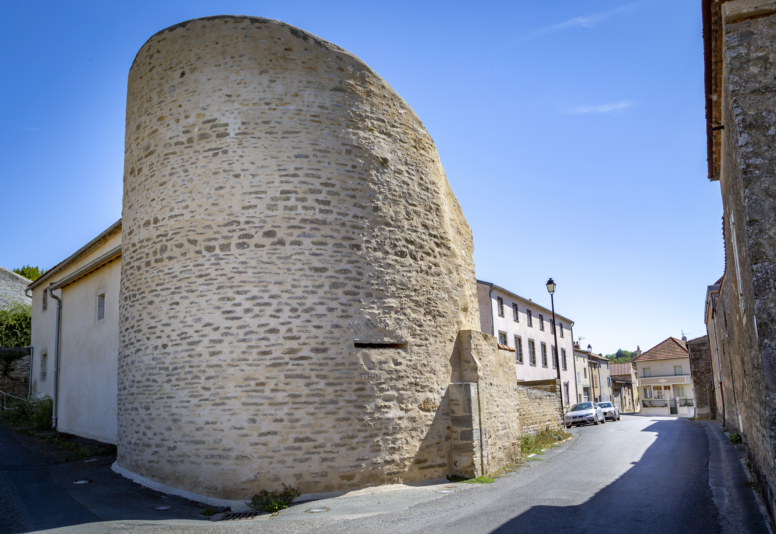
Located on Grande Rue, it consists of a large round tower. Grooves from the old portcullis are still visible on the side of the tower.
Eastern Gate
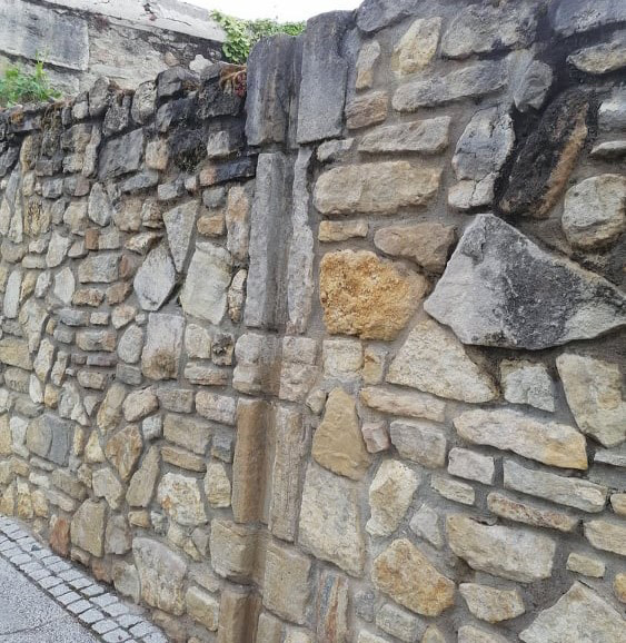
Located in the Faubourg Saint-Jean area, it guarded the town's eastern entrance and included a portcullis and a barred gate. Only the grooves of the portcullis remain after the structure was dismantled due to roadworks. The toll booth and door jamb have been reincorporated into the wall.
Saint-Martin Church
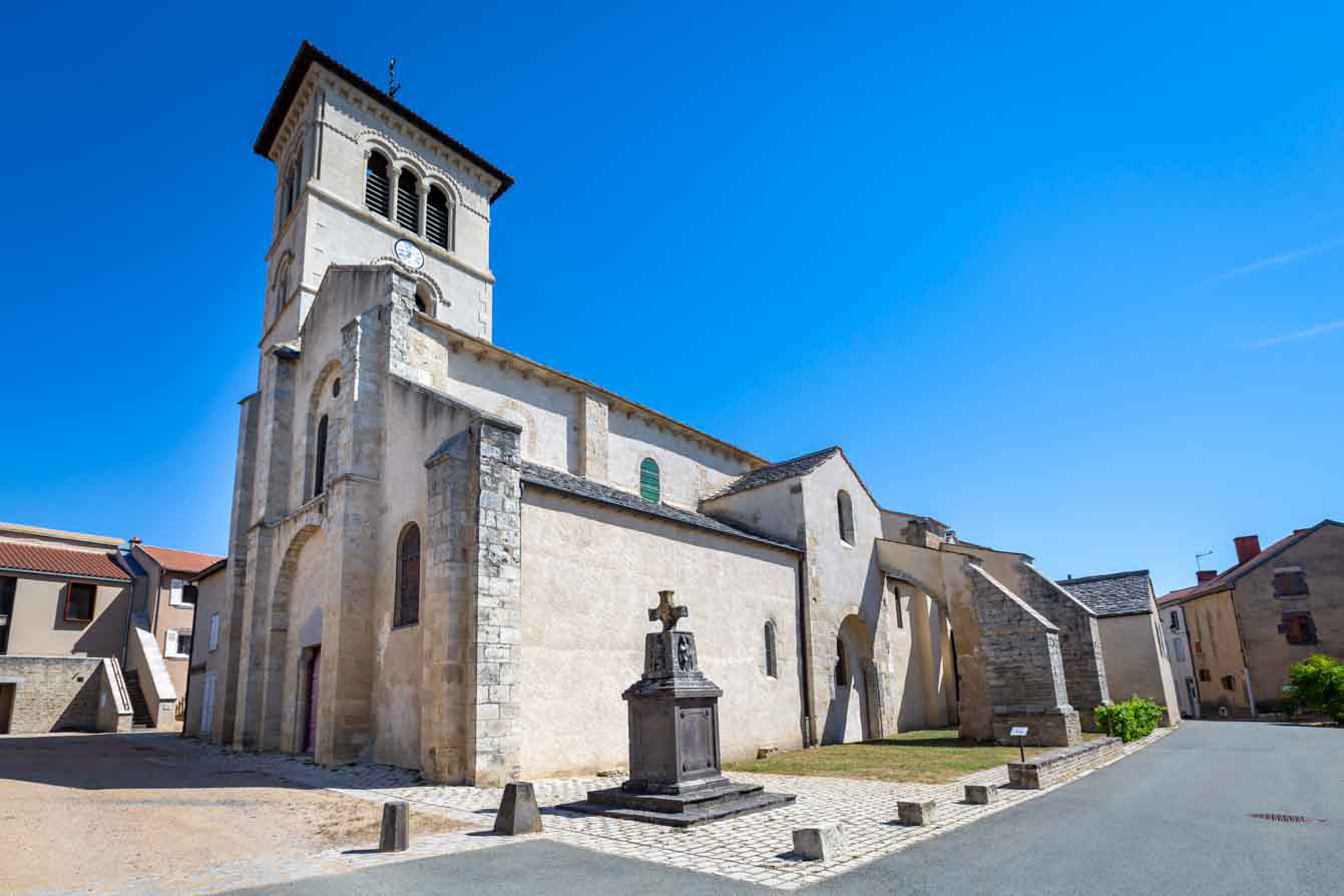
With origins stretching back over a thousand years, the building is one of the oldest and largest Romanesque churches in the Auvergne. Built on the site of ruins from the Carolingian period, its designation as a collegiate church dates to 1048. The layout is similar to that of other major Romanesque churches The structure measures 50 metres in length and is composed of three naves, an ambulatory adorned with chapels, and a nave divided into four bays. The bell tower was demolished during the French Revolution and rebuilt in the Gothic style in 1896, complete with a cross and a rooster. In 1960, the bell tower was restored to its original Romanesque style.
Town Hall and Sainte-Hélène School
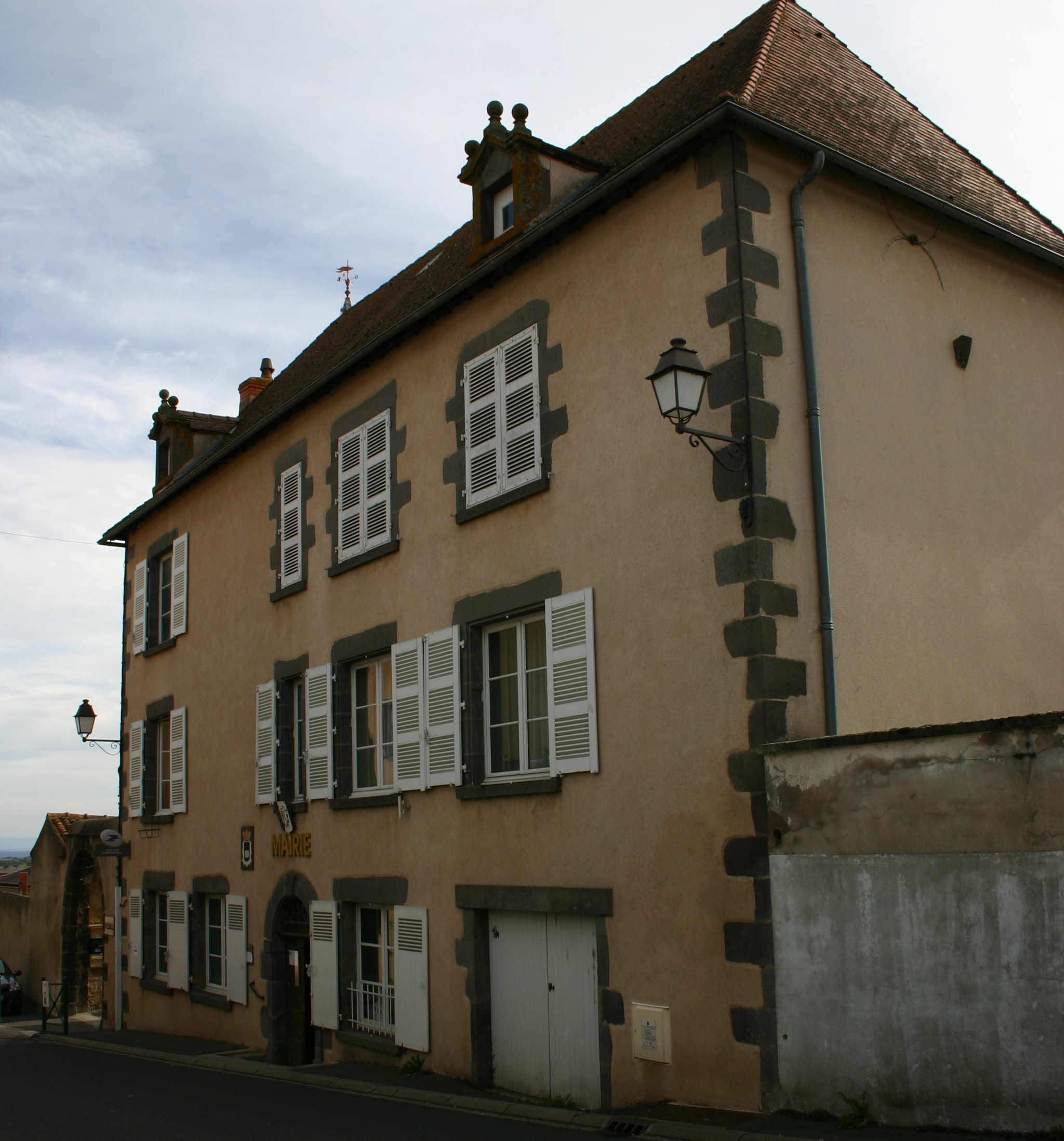
These buildings were originally two 17th-century townhouses that have since been repurposed. The Sainte-Hélène school was once housed a silk farm. Two-hundred-year-old mulberry trees dot the landscape, a legacy of the village's silk industry.
Winegrower's House
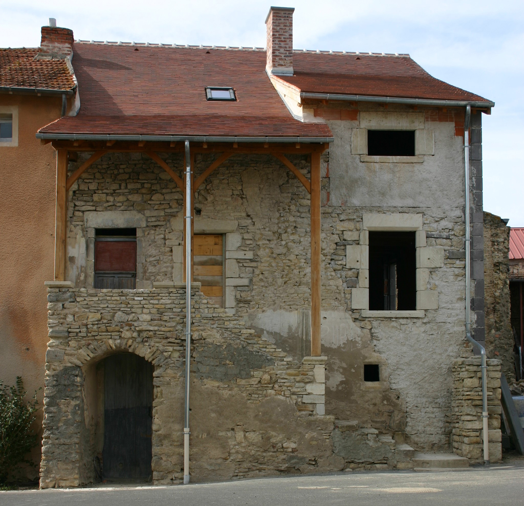
The town's economy relied heavily on viticulture. A winegrower's house defining feature is its external staircase, which leads to a covered gallery. A wine press and living quarters, along with a cellar, are all housed in the same building. The first floor contains the living quarters, with an attic above. The small room under the staircase could be used as a pigsty, chicken coop, or rabbit hutch. The structure is built from arkose stone and wood, and the roof consists of two sections covered with tiles.
Lime Kiln
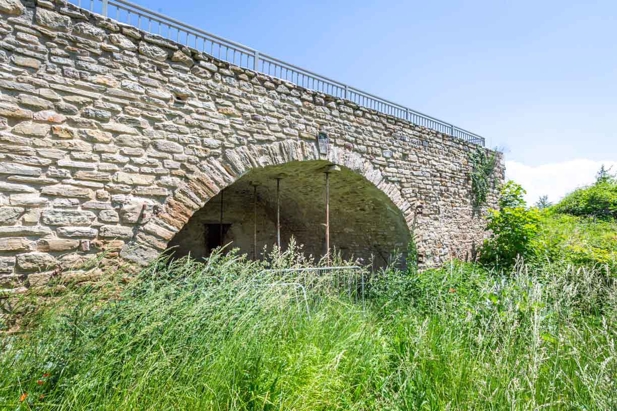
This is the only one remaining of the four that existed in the village. Lime was produced from the limestone found around Puy Saint-Jean.
Shops and Workshops
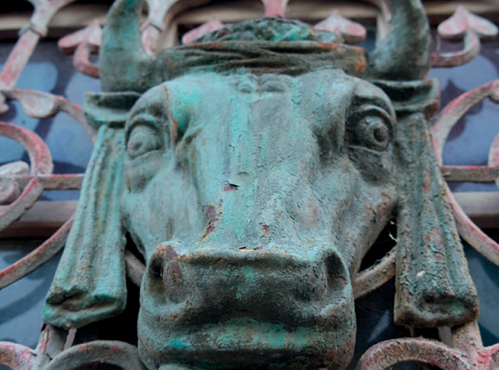
Like all French villages, Artonne used to be home to many shops, before they all but disappeared in the 1960s. Traces of these can still be found on the façades. Here and there a butcher, locksmith, blacksmith, cobbler and other small shops, as well as a cafe, restaurant and post office.
The Fountain Below the Square
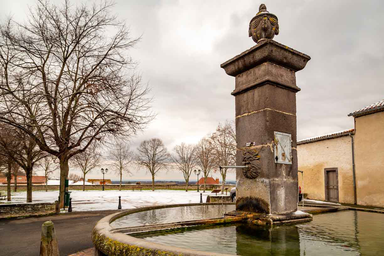
Dating from 1801, it is the largest in the village. Its distinctive feature is the upside-down inscription at the top of the column, which was placed there by an illiterate stonemason. To rectify this, a new inscription was added on the opposite side facing the correct way up. The circular basin is made of volcanic stone and at its centre sits a column topped with a sculpted stone basin and a mask representing a sea monster. Since 1828, the square has undergone several changes, has an irregular trapezoidal shape, and is surrounded by the dwellings of illustrious individuals.
The Montjoly Fountain
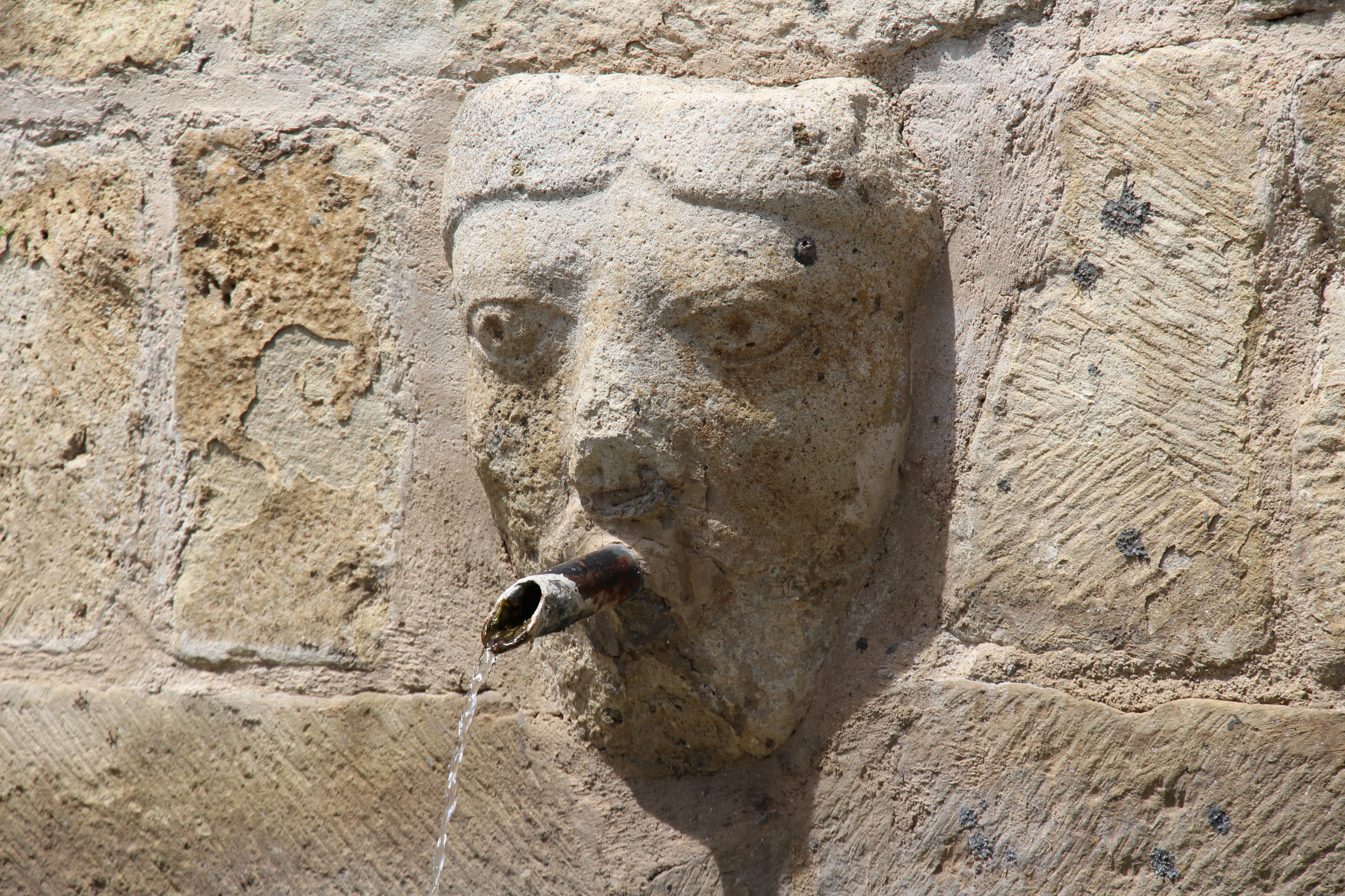
Built from arkose and shaped like a rectangle, it is made from salvaged stones from the old church. Covered with a double-pitched roof, it features a decorative stone head which serves as a water jet. The fountain is located on a stretch of the old fortifications.
Tu Lavoir
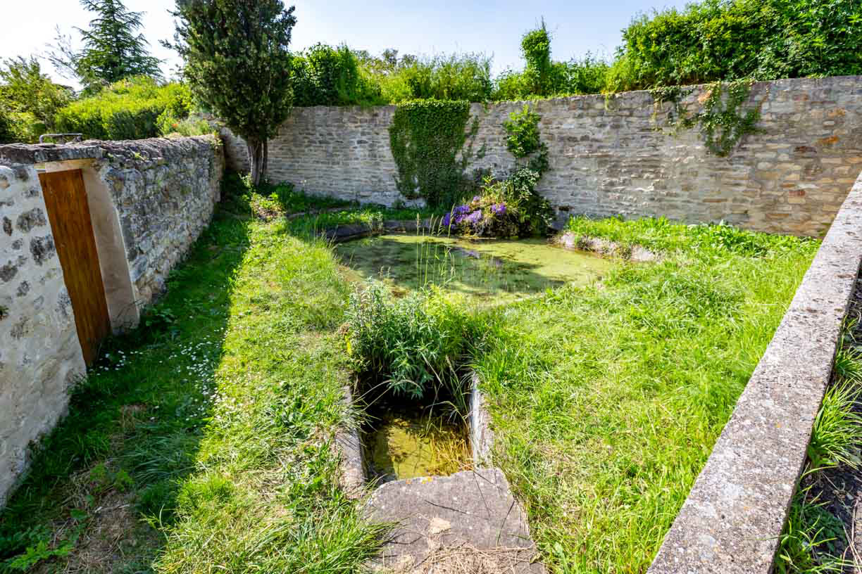
This lavoir is unique in that it never runs out of water. The main irregularly shaped basin is ringed by limestone rocks. The smaller basin is made of volcanic rock.
Fradet Mill
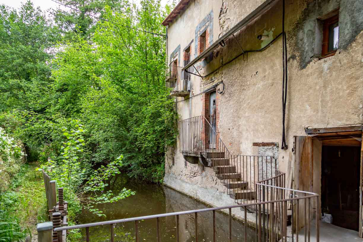
Of the six mills, it is the only one left intact, with part of its mechanism still in place. Of the original four pairs of millstones, only two remain. The millstream is still brimming with water and the reservoir creates a waterfall.
Gardens and Orchards
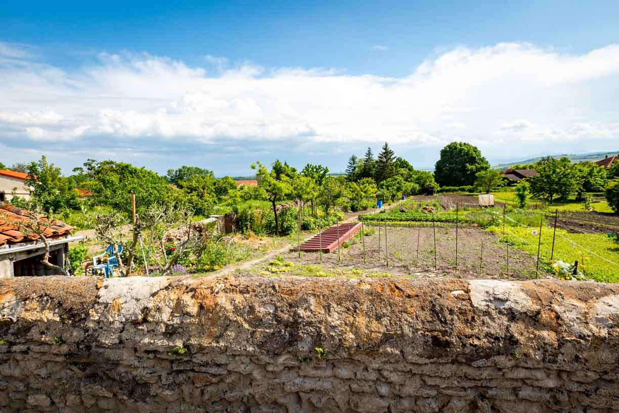
Over time the high concentration of buildings resulted in a lack of greenery in the centre of the village. The creation of gardens and orchards on the outskirts of the village, irrigated by canals flowing below the village, as well as vineyards on the higher ground, have remedied the situation. These areas are home to many bird species, such as corn buntings, hoopoes and redstarts. In the springtime, the flute-like sound of the midwife toad can be heard near water.
Puy Saint-Jean
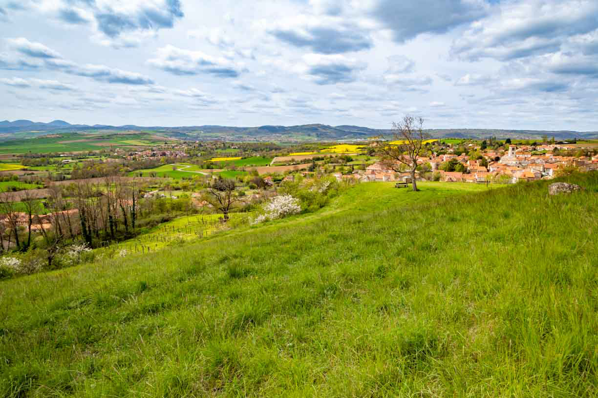
This site is managed by the Auvergne Conservatory of Natural Areas. It bears witness to the area's agricultural past, particularly its vineyards and orchards. From here, you can enjoy stunning views of the Chaîne des Puys, the Livradois mountains and the village of Artonne below.
Morge Valley
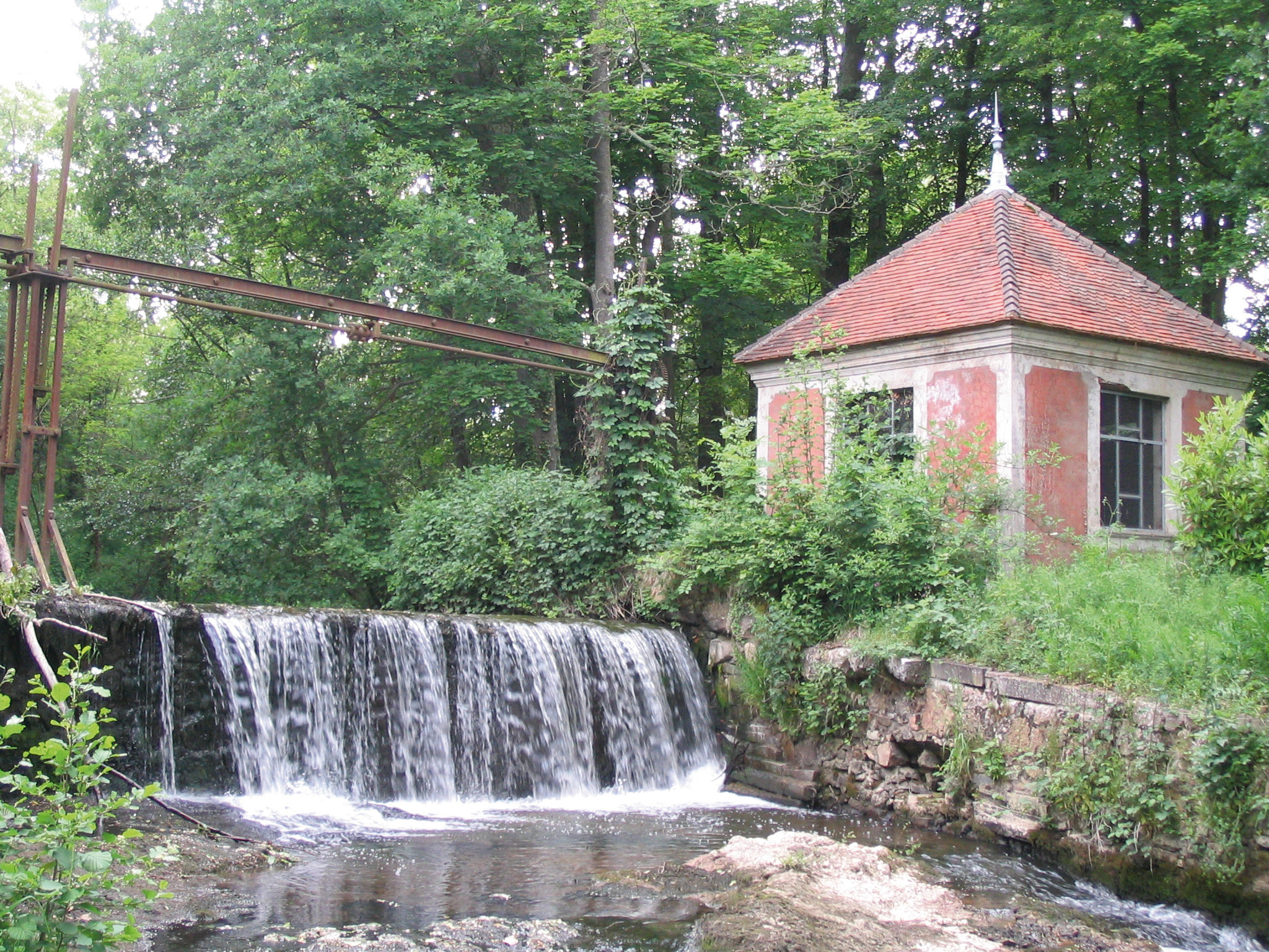
The Morge, a small river 65 km in length, flows into the larger Allier river. Its banks are lined with forests, meadows and springs. Between Artonne and Saint Myon, small sandy meanders housed six mills. Only the remains of dams and wall fragments survive today. The river and its surroundings were designated a Sensitive Natural Area in 2007.
Rameaux Cross
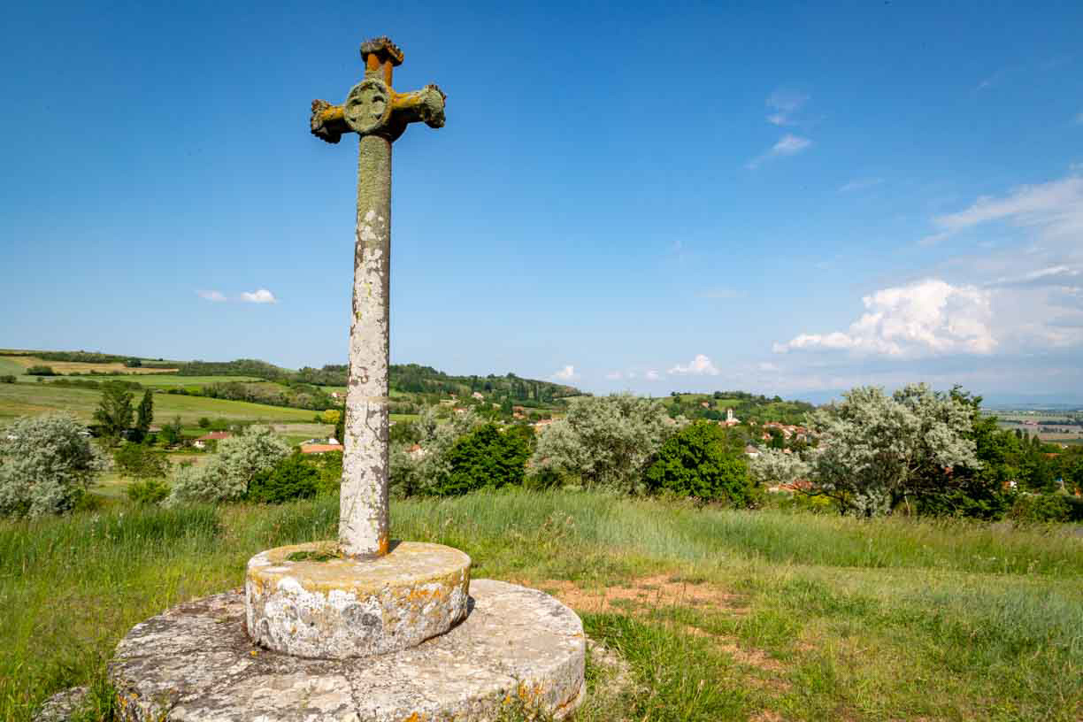
Place names reflect the Christianisation of the area. There are twenty-three crosses in the area, six of which are in the village. During the French Revolution, the crosses were pulled down. Those dating from before 1793 were either hidden or saved. From the 19th century onwards, the crosses were re-erected or replaced with new ones. The Rameaux Cross is located on a red migmatite outcrop, which corresponds to an uplift of the crystalline basement caused by a series of faults known as the 'horst of Saint Myon', a local geological feature.

Ce projet de carte interactive est porté par les associations Petites Cités de Caractère® de France, Petites Cités de Caractère® en Auvergne Rhône Alpes, Petites Cités de Caractère® du Puy-de-Dôme et par la commune d'Artonne.
Il est soutenu financièrement par la convention FNADT du Commissariat Massif Central, par l'appel à projet « patrimoine et numérique » de la Région Auvergne Rhône- Alpes, et par la Fondation d’Entreprises du Crédit Agricole Centre France.
Le plan de la commune (visuel de fond) a été réalisé par Lemoineau.
Les traductions en anglais ont été réalisées par Kim Spychalski.
Les voix ont été produites et enregistrées par Marie Léger (version française), Tamara Souverain (version anglaise).
Les photos ont été produites et réalisées par Julie Baudin, R.Legrand, JC. Faugeras et la mairie d'Artonne. Les photographies réalisées par Julie Baudin ont été subventionnées par le Conseil départemental du Puy-de-Dôme.
Les vidéos ont été produites et réalisées par Petites Cités de Caractère®.
Conception et développement de la carte interactive par Tabula Rasa.


Ce projet de carte interactive est porté par les associations Petites Cités de Caractère® de France, Petites Cités de Caractère® en Auvergne Rhône Alpes, Petites Cités de Caractère® du Puy-de-Dôme et par la commune d'Artonne.
Il est soutenu financièrement par la convention FNADT du Commissariat Massif Central, par l'appel à projet « patrimoine et numérique » de la Région Auvergne Rhône- Alpes, et par la Fondation d’Entreprises du Crédit Agricole Centre France.
Le plan de la commune (visuel de fond) a été réalisé par Lemoineau.
Les traductions en anglais ont été réalisées par Kim Spychalski.
Les voix ont été produites et enregistrées par Marie Léger (version française), Tamara Souverain (version anglaise).
Les photos ont été produites et réalisées par Julie Baudin, R.Legrand, JC. Faugeras et la mairie d'Artonne. Les photographies réalisées par Julie Baudin ont été subventionnées par le Conseil départemental du Puy-de-Dôme.
Les vidéos ont été produites et réalisées par Petites Cités de Caractère®.
Conception et développement de la carte interactive par Tabula Rasa.